
 Meissner, F.V.M.


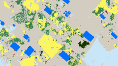
Remote Sensing
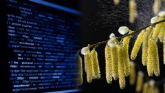
Gaps In Optical Remote Sensing Datasets And How To Fix Them
3:20
Big geodata refers to large and complex datasets of spatial information that require advanced technologies and analytics to manage, process, and extract valuable insights from.
Login and start learning!