






Big Geodata
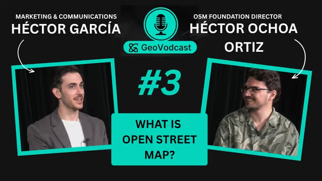
GeoVodcast Interview: What is OpenStreetMap?
43:17
Artificial Intelligence (AI) is the science of creating computer systems and software that can perform tasks typically requiring human intelligence, enabling machines to imitate human-like cognitive functions.
Explore the philosophy behind Open-source Software and how it can benefit companies and institutions. We'll also share details about a…
 Hillas, B. M.
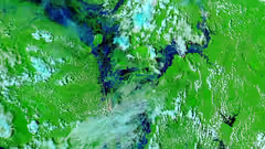
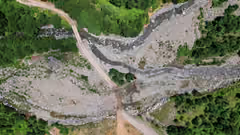
In the Mekong River Basin - particularly Cambodia - there is a need for near-real-time flood inundation maps. Tools like the Hydrologic Remote Sensing Analysis for Floods (or HYDRAFloods) facilitate disaster preparedness and timely flood evacuations when they are accessible to governments and individuals.
Flood inundation data is limited in the Me…
 Mayer, T.J.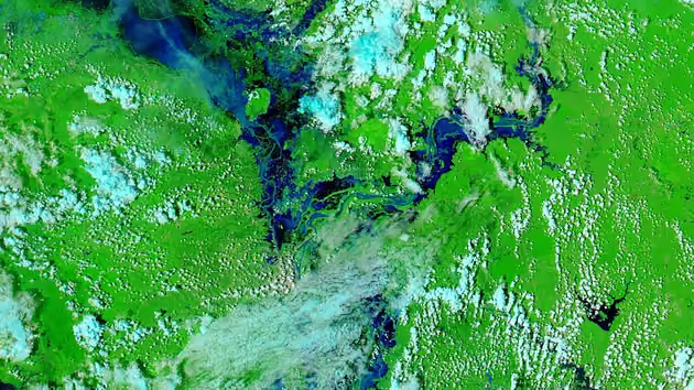
Login and start learning!