


Remote Sensing
The Art of Balancing Three Types of Satellite Resolution
2:37
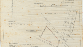
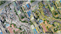
Geo-information refers to data and knowledge related to the Earth's surface and its attributes. It encompasses maps, geographic data, and geospatial technologies used for various applications like navigation, urban planning, environmental monitoring, and disaster management.


 Hillas, B. M. 8 min

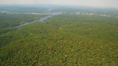
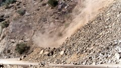
Why is a dynamic approach to landslide susceptibility important?
Landslide susceptibility is basically the probability of a landslide occurring. Obviously, the probability of a landslide occurring on a steep slope is much greater than on flat ground. That's something we can commonly perceive. However, by viewing this phenomenon as a dynamic proces…

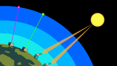
What are digital twins?
Digital Twins are digital representations of physical reality. They can have many forms and scales, from compact models in Mechanical Engineering to complete digital city models. Digital twins are very useful for visualizing the current state of a city but can also be used to simulate future or past events.
How do you crea…


Login and start learning!