Explore topics
Courses
Geoversity™ logo
Login
Explore the world of Geoversity
Artificial Intelligence
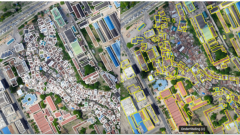
Big Geodata
Climate Change
Digital Twins
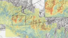
Disaster Risk
Energy Transition
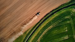
Food Security
Geohealth
Land Administration Systems
Mineral Exploration
Natural Resources Management
Planning Support Systems
Remote Sensing
Spatial Data Science
Sustainable Cities
UAV
Urban Infrastructure
Water Resources
Themes
Topics
Courses
Stories
Partnerships
My profile
About us
Home
FAQ
Themes
Geo-information
Earth Observation
Resource Security
Urban Futures
Climate & Energy
Disaster Resilience
GeoAI
Topics
Artificial Intelligence
Big Geodata
Climate Change
Digital Twins
Disaster Risk
Energy Transition
Food Security
Geohealth
Land Administration Systems
Mineral Exploration
Natural Resources Management
Planning Support Systems
Remote Sensing
Spatial Data Science
Sustainable Cities
UAV
Urban Infrastructure
Water Resources
Themes
Geo-information
Earth Observation
Resource Security
Urban Futures
Climate & Energy
Disaster Resilience
GeoAI
Theme overview
Topics
Artificial Intelligence
Big Geodata
Climate Change
Digital Twins
Disaster Risk
Energy Transition
Food Security
Geohealth
Land Administration Systems
Mineral Exploration
Natural Resources Management
Planning Support Systems
Remote Sensing
Spatial Data Science
Sustainable Cities
UAV
Urban Infrastructure
Water Resources
Topic overview
Home
Stories
Stories
Discover our stories
Type
Article
Podcast
Video
Topics
Artificial Intelligence
Big Geodata
Climate Change
Digital Twins
Disaster Risk
Energy Transition
Food Security
Geohealth
Land Administration Systems
Mineral Exploration
Natural Resources Management
Planning Support Systems
Remote Sensing
Spatial Data Science
Sustainable Cities
UAV
Urban Infrastructure
Water Resources
Created by
NSO
ITC
NASA-USAID SERVIR
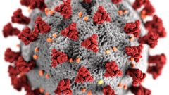
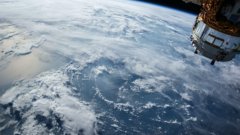
Geohealth
A novel spatiotemporal approach to COVID-19 surveillance
4 min
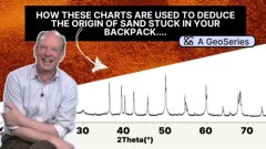
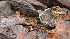
Mineral Exploration
Can geologists guess where you've been on holiday from the sand in your backpack?
5:46
Artificial Intelligence
GeoVodcast #1: Spatial Inequalities in Deprived Urban Areas
34:21
Artificial Intelligence
Podcast: Spatial Inequalites in Deprived Urban Areas
2 min
Land Administration Systems
Promoting sustainability with efficient land management
6 min
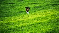
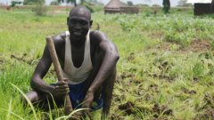
Food Security
How remote sensing helps us investigate extreme heat's effect on crop productivity
6 min
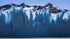
Artificial Intelligence
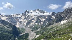
How do glaciers behave in a warming climate?
6 min
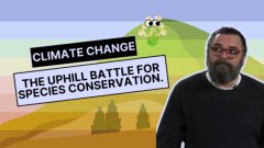
Climate Change
Climate Change: The uphill battle for species conservation
5:20
Geohealth
Where is geospatial health now - and where is it going?
5 min
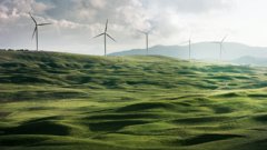
Energy Transition
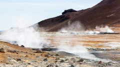
Greenland’s unique underground potential for energy transitions and climate insights
5 min
Mineral Exploration
How does geological remote sensing make mineral exploration and mining more effective?
5 min
Artificial Intelligence
Urban AI and Ways of Knowing
8 min
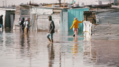
Disaster Risk
Fire hazard in informal settlements: should I stay or should I go?
7 min
Food Security
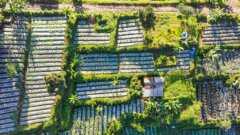
A new way to map small-scale irrigation areas
7 min
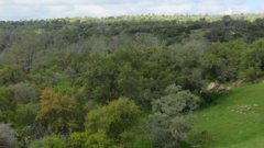
Natural Resources Management
How a geo-information app helps vegetable farmers to optimise inputs and boost productivity
6 min
Artificial Intelligence
12 decisions when designing maps for the Sustainable Development Goals
8 min
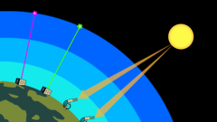
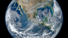
Remote Sensing
How NASA ARSET can get you started with satellite data
5 min
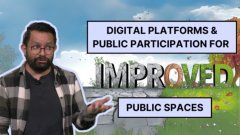
Urban Infrastructure
How to design better public spaces for everyone
6:55
Land Administration Systems
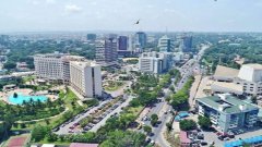
Obstacles to sustainable urbanisation in Ethiopia
8 min
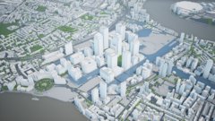
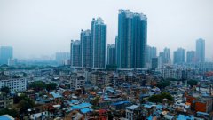
Digital Twins
Cities are Cloned in the Virtual World to Transform Urban Planning
4 min
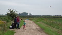
UAV
Drones, the Perfect Survival Ally. Episode 1: Sourcing Food
6:13
Climate Change
Travelling back in time to understand the present and predict the future of our forests using remote sensing
7 min
Spatial Data Science
Geospatial data and the Sustainable Development Goals
7 min
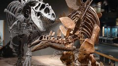
Natural Resources Management
Where Dinosaurs lived: how geolocation supports palaeontological research
7 min
Artificial Intelligence
What are agent-based models?
6 min
Artificial Intelligence
Four popular sources of labelled data for machine learning
5 min
Artificial Intelligence
Enhancing Agricultural Monitoring with AI and satellite data: A Collaborative Training on Crop Type Mapping
6 min
Spatial Data Science
Symbols on maps and graphs and why choosing them carefully matters
4 min
Digital Twins
Digital twins can make mapping easier and more accurate
5 min
Food Security
How geodata-based insurance can help smallholder farmers cope with weather risks
7 min
Food Security
Impact and lessons learned from the GIACIS project
5 min
Land Administration Systems
How scientists evaluate the accuracy of land cover maps
8 min
UAV
UAVs for Geophysical Survey
5 min
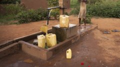
Geohealth
The role of water- and health-related local community knowledge and perceptions in decision-making
7 min
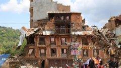
Disaster Risk
Ethics and disaster management
8 min
Land Administration Systems
Improving land administration services in Ghana
7 min
Digital Twins
Keeping things cool with digital twins
7 min
Geohealth
Why schools should have WASH – and teach it too
6 min
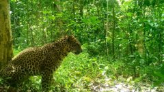
Natural Resources Management
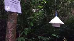
How camera traps benefit Javan leopards
6 min
UAV
Using UAV Technology to Fight Palm Tree Pests and Diseases
6 min
Energy Transition
Are we running out of raw materials for the energy transition?
7 min
Disaster Risk
What is the Wet-Bulb Globe Temperature?
5 min
Food Security
Insights from Food Security Data: The critical role of trade
6:16
Planning Support Systems
What is magic of institutionalising planning support systems?
4 min
Remote Sensing
Colour composites unraveled
6 min
Mineral Exploration
Searching for Rare Earth Elements from space and how minerals made in the lab play a key role
5 min
Land Administration Systems
FELA and the art of sustainable land administration
7 min
Disaster Risk
What is the social and mental health impact of flooding on older adults?
4 min
Spatial Data Science
Beyond "I make maps": how to make your research understood (and why you should!)
4:36
Disaster Risk
What is geospatial auditing of public funds?
5 min
Climate Change
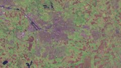
Between climate planning and implementation: Closing the gap with a new database
5 min
Food Security
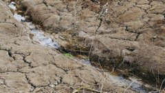
Mapping Rainforest Water Use: A UAV-Based Approach to Evapotranspiration
4 min
Sustainable Cities
What green do you need? How residents of less well-off urban areas see their environment
6 min
Spatial Data Science
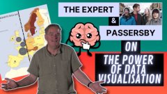
Misled by maps: How data visualisation shapes our stories
9:52
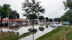
Disaster Risk
Predicting floods in real time
4 min
Digital Twins
How deep learning and remote sensing can combine to promote 3D city modelling for digital twins
5 min
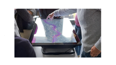
Planning Support Systems
Making maptables more usable for collaborative planning
5 min
Geohealth
Water and health insecurity among urban homeless communities
7 min
Artificial Intelligence
Open spaces and why mapping them is crucial
5 min
Geohealth
Water, health and decisions: the impact of extreme weather
5 min
Remote Sensing
The Remote Sensing Data Labelling Challenge
7 min
Disaster Risk
The power of impact-based weather forecasting
7 min
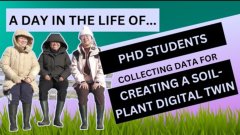
Digital Twins
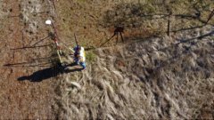
A Day in the Life Of: PhD students collecting data for creating a soil-plant digital twin
7:30
Spatial Data Science
Spatial autocorrelation and its importance in Earth observation
5 min
Climate Change
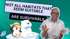
Why you can't just introduce your favourite animals anywhere!
6:13
Disaster Risk
Coping with the most underestimated natural hazard
7:51
Land Administration Systems
New routes to affordable land administration
4 min
Digital Twins
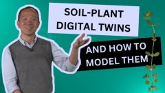
Soil-plant digital twins and how to model them
6:35
Mineral Exploration
The evolution of geological remote sensing in mining and mineral exploration
12 min
Food Security
Drought peril insurance for smallholder farmers
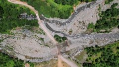
6 min
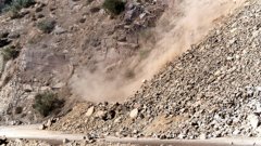
Disaster Risk
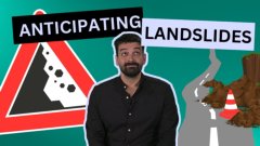
State-of-the-art modelling may help anticipate landslides
5:12
Artificial Intelligence
What robotic sight is needed for
4:24
Spatial Data Science
Why we should read maps critically
8 min
Remote Sensing
Why do you not see what I see?
5 min
Urban Infrastructure
Podcast interview: How are digital technologies implemented in water governance in Lima, Peru?
32 min
Mineral Exploration
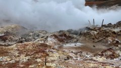
Unlocking Earth's Superhot Energy for green and sustainable power generation
3 min
Mineral Exploration
Mapping the Future: 6 Aspects of New Exploration Technologies for Critical Minerals Discovery
3 min
Mineral Exploration
Unveiling hydrothermal minerals at the Rodalquilar gold-alunite deposit with hyperspectral imaging
3 min
Mineral Exploration
Cobalt: the chemical element that connects Vincent van Gogh, the energy transition, and mineral exploration using remote sensing
8 min
Climate Change
An army of egg-sized sensors to hatch a sustainable movement in Paramaribo
7 min
Urban Infrastructure
Gated communities and how they affect life quality
4 min
Urban Infrastructure
Creativity in Urban Planning
3 min
Water Resources
Supporting forest drought monitoring by developing ground-based sites
5 min
UAV
Improving road and traffic monitoring using drones and AI
3 min
Remote Sensing
Can we measure river discharge from space?
5 min
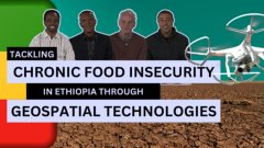
Food Security
Geospatial technologies may help tackle chronic food insecurity
6:40
UAV
Using UAV-based thermal imagery to inspect and improve the energy efficiency of buildings
4 min
UAV
UAVs are revolutionising disaster resilience
5 min
Land Administration Systems
Innovations for land rights mapping
4 min
Energy Transition
The Energy Transition Explained
17 min
Disaster Risk
What is dynamic landslide susceptibility?
5 min
Digital Twins
How can digital twins help the world?
9 min
Digital Twins
How can digital twins help us to build sustainable cities?
2 min
Digital Twins
Building a city digital twin: needs and challenges
4 min
Digital Twins
3 examples of successful city digital twin applications
6 min
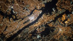
Big Geodata
Preventing privacy disasters
6 min
Disaster Risk
Explainable AI in Natural Hazard Monitoring
4 min
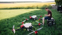
UAV
How do UAVs help precision agriculture?
6 min
Land Administration Systems
Establishing land rights by documenting land relations
5 min
Climate Change
What is overshoot day and why does it matter?
3 min
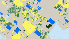
Spatial Data Science
Mapping from high-resolution images and height data
2 min
Disaster Risk
How can explainable AI contribute to natural hazard prediction?
3 min
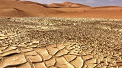
Climate Change
How climate change is affecting food security in arid regions
4 min
UAV
Five sensors that are used on smart agriculture UAVs
2 min
UAV
Six ways that drones can make farming smarter
4 min
Remote Sensing
SAR Tomography: How to reveal the diverse world beneath the forest canopy
3 min
UAV
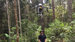
Using drones to map forests and plantations
6 min
Natural Resources Management
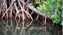
Five benefits of mangrove forests
3 min
Natural Resources Management
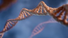
What is eDNA?
4 min
Spatial Data Science
What is Spatial Finance?
4 min
Food Security
What is hidden hunger?
4 min
Food Security
What is food security?
5 min
Water Resources
How water pollution affects shrimp farms
3 min
Land Administration Systems
A New Solution for Digitizing Survey Plans
7 min
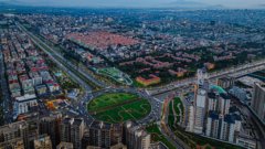
Sustainable Cities
Dealing with the challenges of modern urbanization
3 min
Sustainable Cities
Five new concepts of what cities should be
3 min
Sustainable Cities
How GIS technology can help to keep growing cities sustainable
3 min
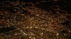
Big Geodata
How to count travelers without tracking them between locations
4 min
Land Administration Systems
From Paper to Pixel: The Challenge and Vision of Survey Plan Digitization
6 min
Mineral Exploration
Five minerals that can help to save the planet from the carbon crisis (and natural kryptonite is one of them)
10 min
Digital Twins
How a soil-plant digital twin can help predict and monitor our ecosystems for sustainable developments
4 min
Planning Support Systems
Getting everything in place with the Matrix of Functions
4 min
Geohealth
Measuring the ways climate change can affect allergy season: methods and challenges
4 min
Geohealth
Opportunities and Challenges in using machine learning to model pollen data
3 min
Climate Change
Three ways that climate change can affect pollen emissions
2 min
Digital Twins
Producing 3D Models for city Digital Twins
2 min
Artificial Intelligence
How can machine learning bias affect GIS applications?
4 min
Planning Support Systems
What is participatory mapping?
6 min
Spatial Data Science
Three dimensions to measure the impact of soil nutrients on the nutritional values of crops
5 min
Remote Sensing
6 Benefits of Using Drones for Civil Infrastructure Inspections
5 min
Remote Sensing
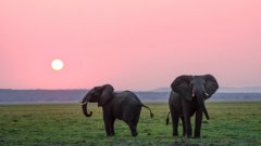
How many elephants? Ask a satellite
5 min
Remote Sensing
How do satellites work?
6 min
Spatial Data Science
Species distribution modelling
6 min
Remote Sensing
Remote Sensing to assess protein content in wheat - the secret to a perfect slice of bread
4 min
Remote Sensing
How do LiDAR and radar Work?
3 min
Climate Change
Using hyperspectral remote sensing to predict droughts
5 min
UAV
Mapping Slums with UAVs
6 min
Climate Change
Climate Change as a Global Challenge
28 min
Filter results
Start learning for free!
Be the first to enrol in our courses
Receive personalized updates related to your field
Save courses and content to enjoy later
Join a geospatial community of learners
Join Geoversity
Already subscribed?
Log in
Explore our courses
today
Courses
New to Geoversity?
Create an account for free - No credit card needed
Join Geoversity
Login
Login
Forgot password?